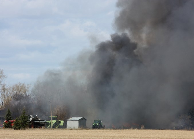
If it’s not one thing it’s another this spring in Westlock County.
The Local State of Emergency due to overland flooding was called off April 30, the same day the municipality announced a fire restriction to try to avoid accidental fires.
Permits for fireworks, backcountry fires, burn barrels and large brush fires are now restricted, although permits for essential burning may still be issued.
Residents are also advised to check any extinguished winter burn piles for heat. The county advises poking the pile with a metal rod or stick and physically checking it for heat. If the pile is still burning it will need to be spread or dug out.
Fires at municipal campgrounds are allowed with designated fire rings, as are backyard fire pits, provided they are three metres from any building, property line or combustible material.
Engineered incinerators are also still allowed.
The county strongly advises that all fires be supervised and extinguished completely during windy conditions and that residents have water and extinguishing equipment nearby.
Violators may be subject to fines under the fire bylaw.
Meanwhile, the Local State of Emergency may be over, but there are still several roads and the Shoal Creek bridge that are still out of commission.
As of May 4 at 4:30 p.m. the roads listed at the right are still not passable and the county urges drivers to respect closure signs and find alternate routes.
Closures as of May 4
Closed roads
DIV. 1
• Landing Trail North of Twp 590
• RR 243 North of Twp. Rd. 592
• Twp. Rd. 594A between RR 243 and Twp. Rd. 595A
DIV. 3
• RR. 14 between Twp. Rd. 594 & 595A
DIV. 5
• RR 245 at Twp. Rd. 602
• Old Highway 2 from Tawatinaw entrance to RR 243
• RR 253 between Twp. Rd. 610 & 604
• RR 252 between Twp. Rd. 610 & 604
• RR 233 North Twp. Rd. 615
DIV. 6
• Twp. Rd. 632 between RR 264 & 263
• Twp. Rd. 630 between RR 264 & 263
• Intersection of RR 270 & Twp. Rd. 632
• RR 632 West of Rge. Rd. 263
• RR 265, 1 mile North of Highway 663 (1/3 of road flooded)
• Twp. Rd. 642 east of RR 265
DIV. 7
• RR 272 South of Twp. Rd. 640
• RR 13A North of Highway 663
• RR 15 at Twp. Rd. 643
CLOSED BRIDGES
Div. 3
• BF 70813 - Bridge over Shoal Creek, RR 21 North of Twp. Rd. 614


